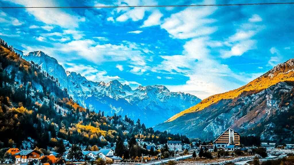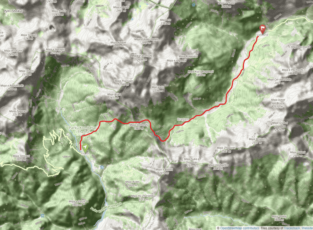
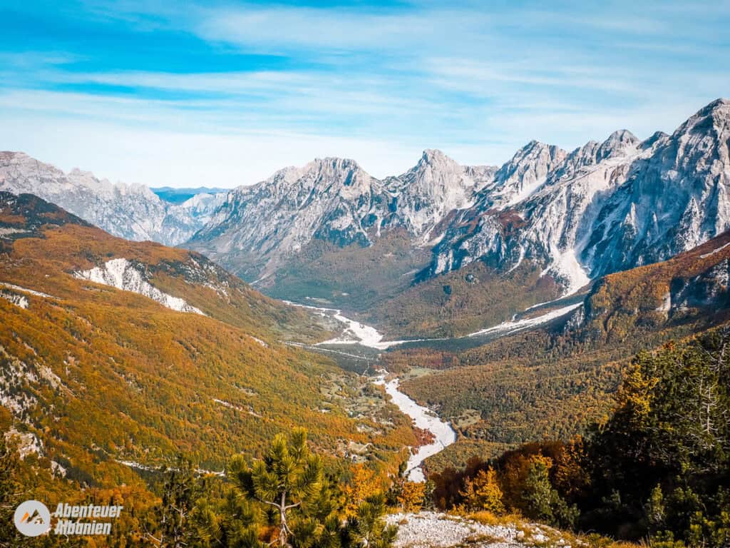
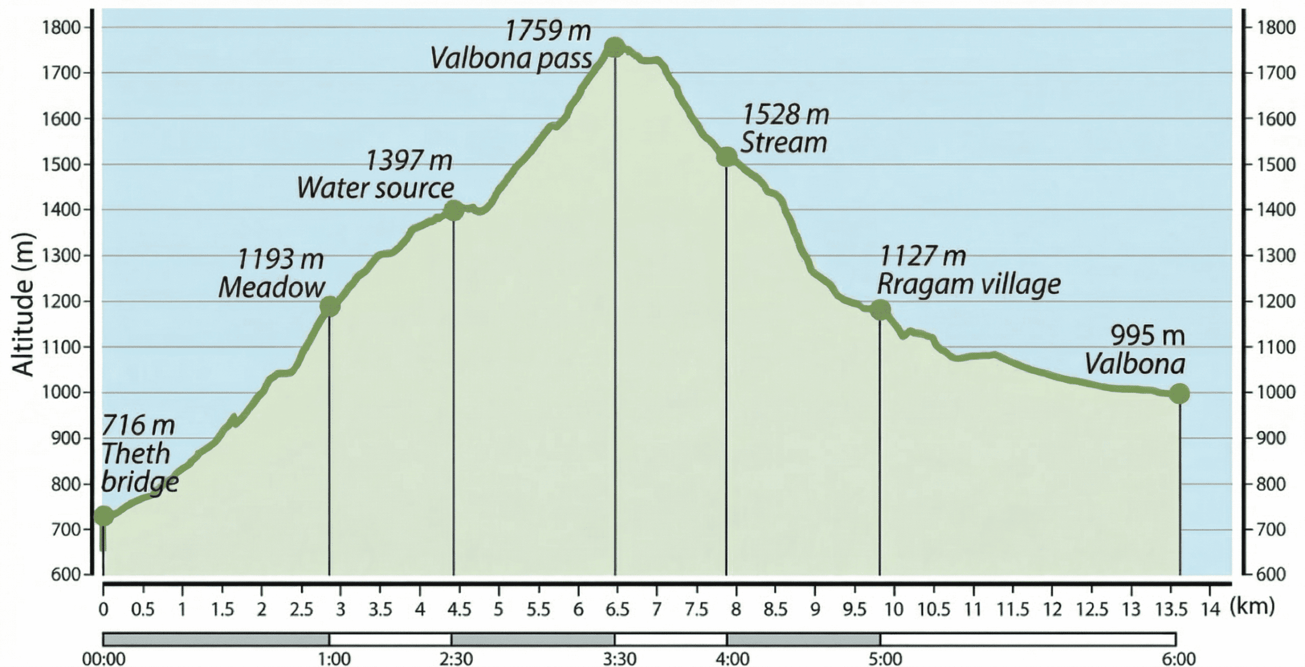
This first stage of the Peaks of the Balkans begins with the hike from Theth (745 m) over the spectacular Valbona Pass (1759 m) to Valbonë (995 m). The hike follows the route of an old mule track that has always connected the tribal regions of Shala and Nikaj.
The route can be divided into two parts by staying overnight in one of Rragam's guest houses. 6 km before you reach the centre of Valbonё. Another way to split the hike is to camp in the meadows before reaching the Valbona Pass. There are no settlements or huts near the Valbona Pass (and no shepherds in summer), but a bar has recently been built where you can buy refreshments in summer.
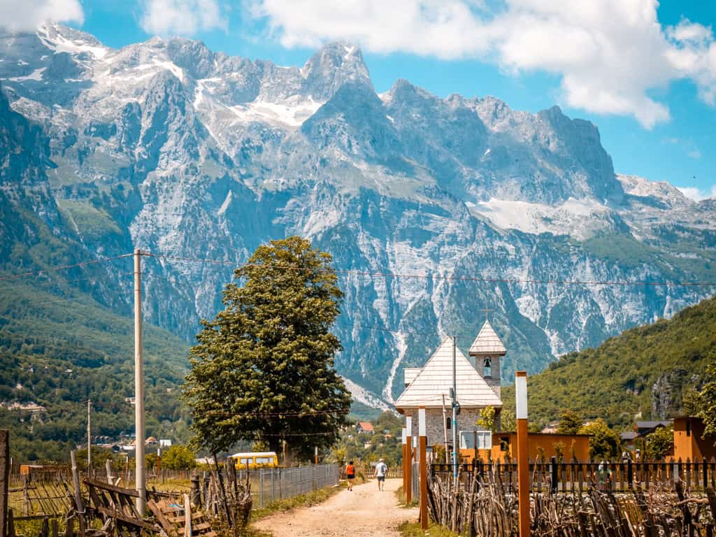
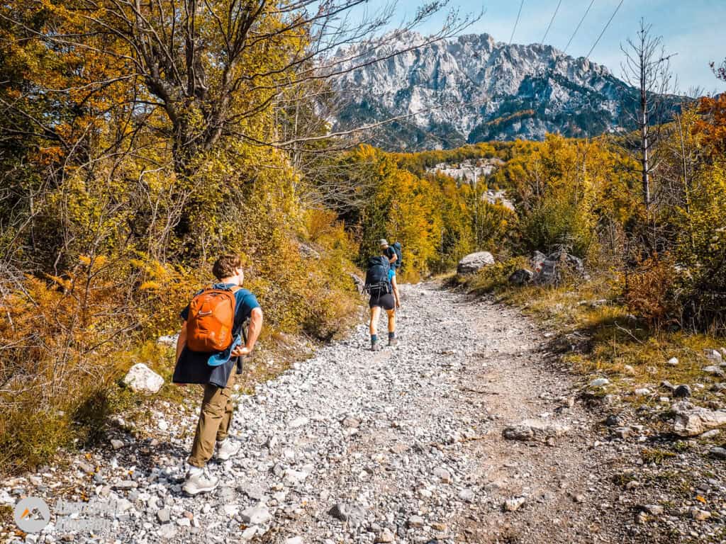
The hike starts in the centre of Theth, waypoint (waypoint) 1, and continues northwest on a barren gravel road with the river Theth on your left. The main bridge of Theth and the Prek Harusha guesthouse can serve as landmarks. After a few hundred metres, cross a stony stream on a footbridge and immediately take the path on the right at the next fork.
The path turns right at SS 2 and continues north-westwards. A few metres further on, you will pass signs for Gusinje, Montenegro and Valbonë, Albania. The hike continues gently uphill along a dirt road until you see the first house of the village of Gjelaj together with the mule track on the left at SS 3. We take the mule track and the ascent becomes increasingly steeper.
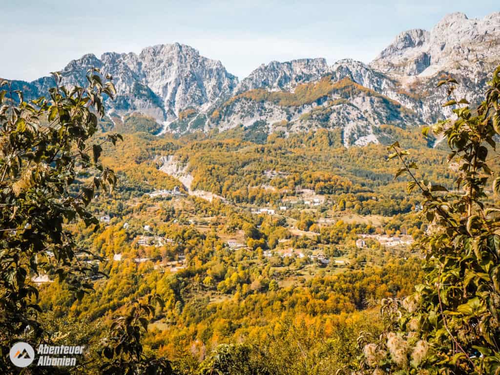
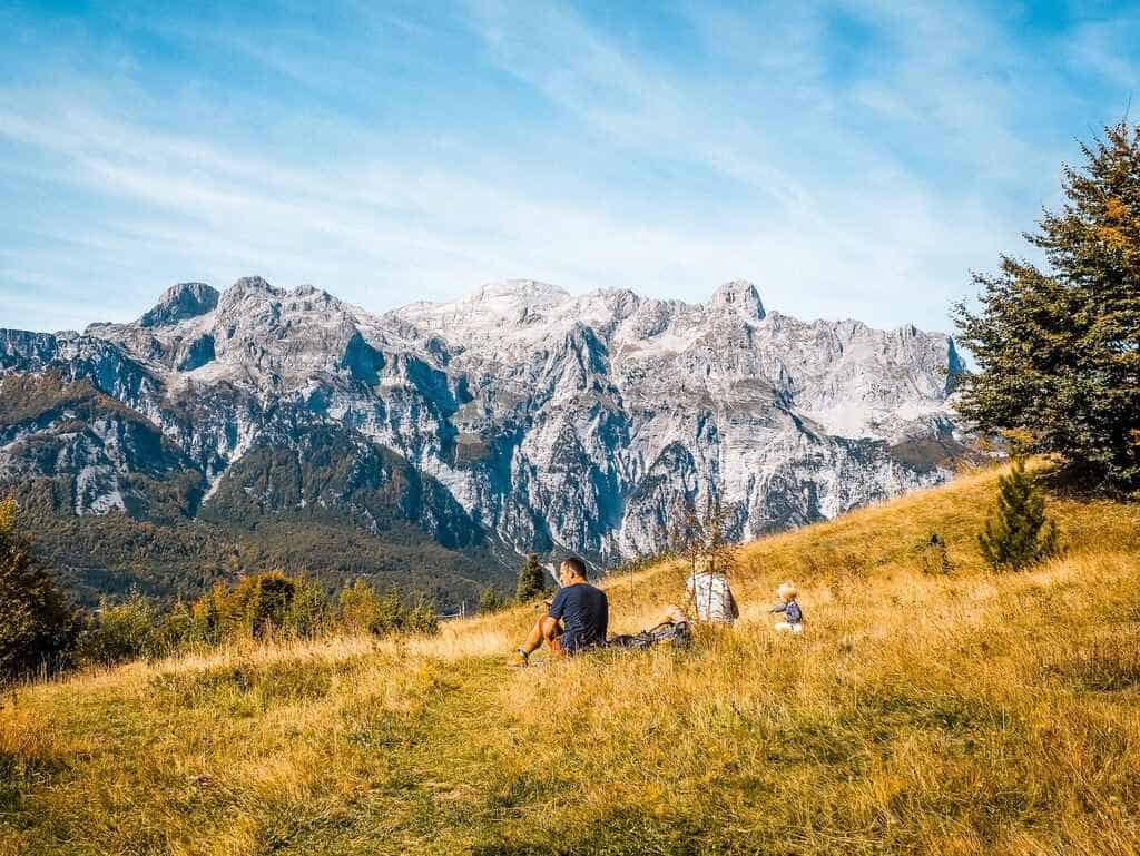
After about 200 metres, the mule track reaches a colourful forest and runs through it for 1 kilometre until you reach a picturesque meadow (SS 4). This is an inviting place to rest, offering fantastic views of the valley of Theth and the surrounding mountains.
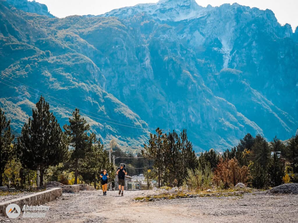
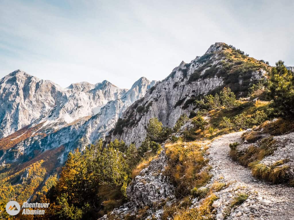
Our first stage of the hike continues steeply uphill to the north-east and leads us into the forest again after 30 minutes. After about 500 metres, we reach a water source (WP 5). A few metres further on, we pass a new wooden hut, which is usually open to hikers in summer. We follow the path south-east through the forest for another 700 metres, then leave the forest and continue eastwards up towards the Valbona Pass (WP 6).
The path continues to the right above the bar and leads us in another 45 minutes or so, well marked, to the top of the pass „Qafa e Valbonës“. This is located at an altitude of 1,797 metres. This point offers breathtaking views of two valleys (Valbonë to the east, Theth to the west). Enjoy the view and relax before returning to the valley.
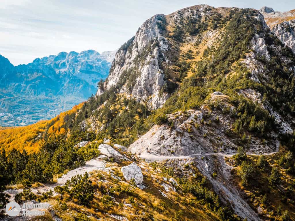
The following descent to Valbonë begins in the north-west and then leads through a series of zigzags to the north-east (SS 7). At the end of the zigzag we cross a (dried up) stream (SS 8). We then continue south-westwards as the trail follows a clear path into an open, wooded area. After about 600 metres we reach a stream with drinking water (SS 9), a good place to rest before starting the final descent to the village of Rragam (SS 10). At this point, we turn left at the crossroads.