- Length of the trail: 192 kilometres (119.3 miles)
- Min. altitude: 670 metres (2198 ft) | Max. altitude: 2,290 metres (7513.12 ft) Altitude: 2,290 metres (7513.12 ft)
- Total ascent: 9,800 metres (32152.23 ft) | Total descent: 9,900 metres (32480.31 ft)
- Walking time: 10-12 days
So that you can set off every day without any problems, even if the hiking trail leads through uninhabited mountain regions, we provide you with a detailed topographical map of Peaks of the Balkans and the GPS tracks, which you can use via a smartphone app or on your own GPS device.
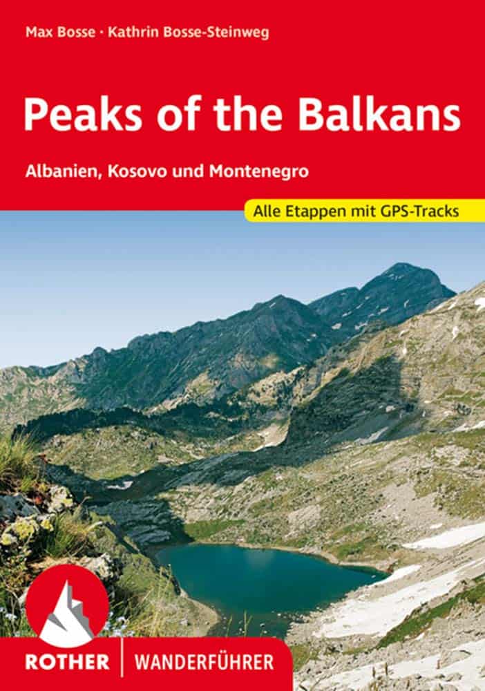
The map below shows the Peaks of the Balkans in the classic route, which comprises 10 hiking days and includes routes to the most beautiful villages and mountain huts in the three countries as well as border crossings outside the official border crossings.
Depending on your ideas and plans, we will also be happy to make further suggestions. If you require further information, please contact us and we will provide you with route suggestions that have been developed in collaboration with our tour guides.