
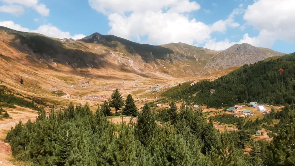
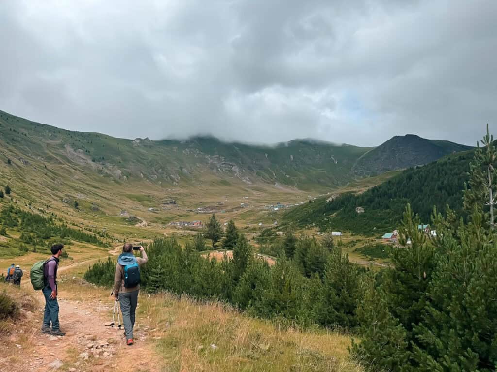
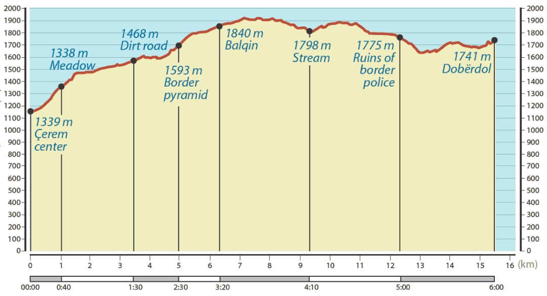
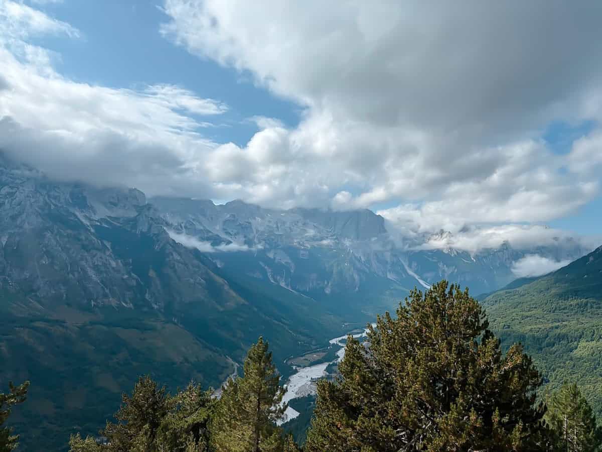
This 3rd stage hiking day takes us from Çerem to Dobërdol, a remote shepherd's village that can only be reached via mule tracks and is only inhabited by shepherds in summer. From Çerem, the trail climbs up to the Montenegrin border, past another summer shepherd village, Balqin, and on through the Gashi Valley (nature reserve). The main attractions in Dobërdol are the glacial lakes and the Dobërdol-Sulbicës plateau.
This section can also be perfectly split into two day hikes if you want to spend the night in the picturesque shepherd's village of Balqin (WP 8b), which is almost halfway along the trail. The first day's hike is then 9.1 kilometres long and the second day is 6.5 kilometres long. You can either camp there or ask the shepherds for a shelter. There are a number of springs and streams along the way, with water of drinking quality.
The Çerem to Dobërdol hike begins in the centre of Çerem (SS 7a) and leads in a north-easterly direction on a gravel road along the Markafsha stream. At SS 1b, we cross the stream and follow the mule track that leads into the forest and zigzags upwards.
The path then leaves the forest at SS 2b and heads north-east across a beautiful meadow with breathtaking views of Çerem behind us. The path is easily recognisable by a slight dip when the grass is long, and it is very easy to follow because the meadow is bordered by the forest.
Now the ascent becomes gentler, as we follow the gravel road through the forest for approx. 2.5 kilometres. At the crossroads (SS 4b), our route turns left and we leave the gravel road at the border pyramid (SS 5b).
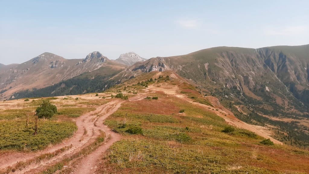
From the border pyramid, our route continues for about 2.5 kilometres on Montenegrin territory, along an easily recognisable, gently ascending mule track in a north-easterly direction through the forest.
In good weather, we can see our destination from afar, but it's still three to four hours to get there. At the end, we have to walk slightly uphill again, but are rewarded with a rustic ambience and genuine hospitality.
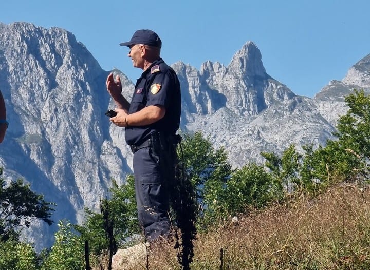
At SS 6b we reach a beautiful meadow and can see a small building on the left, which was built by the Border police served as a survey point. At the crossroads, we turn right as our path enters the forest. We keep right at the junction for SS 7b and after approx. 100 metres we come to a dirt track.
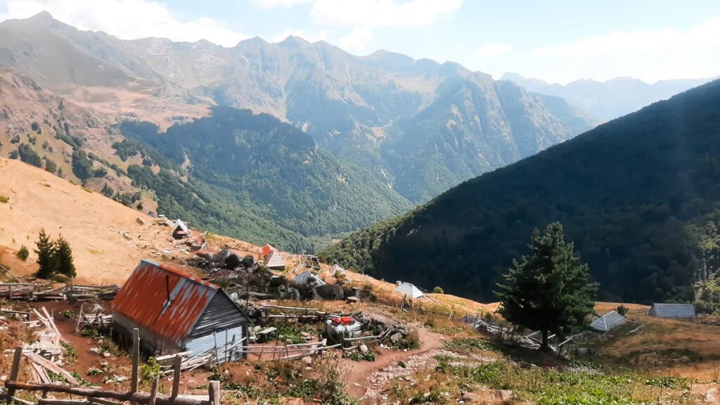
A few metres further on, on our right, there is another border pyramid. We cross the gravel road and follow the mule track in a north-easterly direction, which takes us through the forest until we reach Balqin (WP 8b), a beautiful shepherd's village, which is also only used during the summer season. Balqin invites you to rest and learn more about the local culture.
The path to Dobërdol then runs in a north-easterly direction with a slight ascent through the forest. At the crossroads (SS 9b), you can either turn right or left. Both paths are marked and will eventually lead you to the same path. We recommend turning left as this path is shorter. From here, the trail goes slightly downhill and then crosses a stream (WP 10b) and follows the path eastwards along the stream. After about 800 metres we reach a water source (WP 11b). The ruins of the border police can be seen a few metres further on to the right.
From here, one path leads down into the Gashi Valley, while another leads up to the border. We follow the descending path northwards to the valley and a few metres further on we turn left at a crossroads. At SS 12b the path begins to ascend (from 1660 to 1760), after which the hike through the beautiful meadows of Dobërdol flattens out along the river.
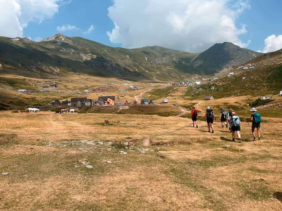
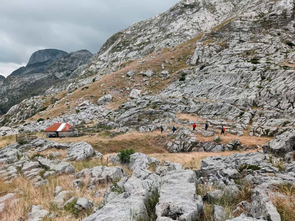
Dobërdol is a good option to spend a day there and go on a relaxing hike to the glacial lakes a few kilometres to the south-east. You can spend the night there in shepherd's huts (WP 13b), which are run by 2 local families.