Total ascent: 9,800 metres (32152.23 ft) | Total descent: 9,900 metres (32480.31 ft)
Walking time: 10-12 days
So that you can set off every day without any problems, even if the hiking trail leads through uninhabited mountain regions, we provide you with a detailed topographical map of Peaks of the Balkans and the GPS tracks, which you can use via a smartphone app or on your own GPS device.
The map below shows the Peaks of the Balkans in the classic route, which comprises 10 hiking days and includes routes to the most beautiful villages and mountain huts in the three countries as well as border crossings outside the official border crossings.
Depending on your ideas and plans, we will also be happy to make further suggestions. If you require further information, please contact us and we will provide you with route suggestions that have been developed in collaboration with our tour guides.
The entire route of the Peaks of the Balkans is marked with markings that are generally (but not always) clearly visible. However, it is not advisable to tackle the route without a good guidebook about the region (see section below) and the Peaks of the Balkans hiking map, which will give you a good orientation of the entire route and a detailed description of the different stages of the trail, including altitude profiles.
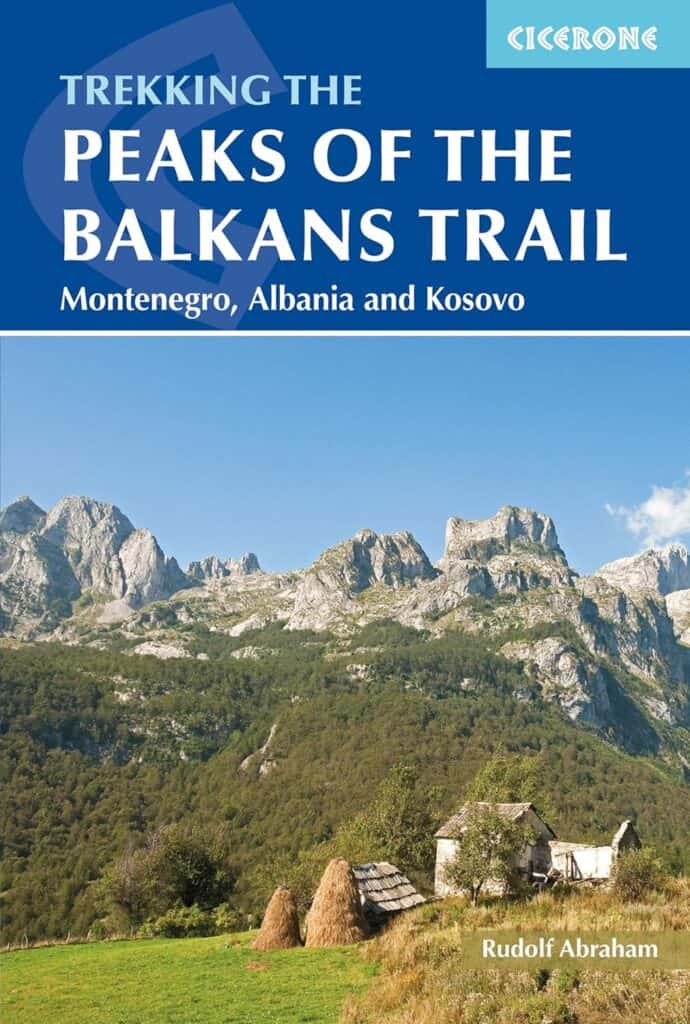
The Peaks of the Balkans Trail: Montenegro, Albania and Kosovo (Cicerone guidebooks) Paperback - 2017
Guidebook to the Peaks of the Balkans Trail, a 192km trek through Montenegro, Albania and Kosovo. The route, which can comfortably be completed in less than a fortnight, is waymarked and covers terrain between 670m and 2300m in altitude, taking in remote valleys, dramatic mountain passes, stunning scenery and villages untouched by time.
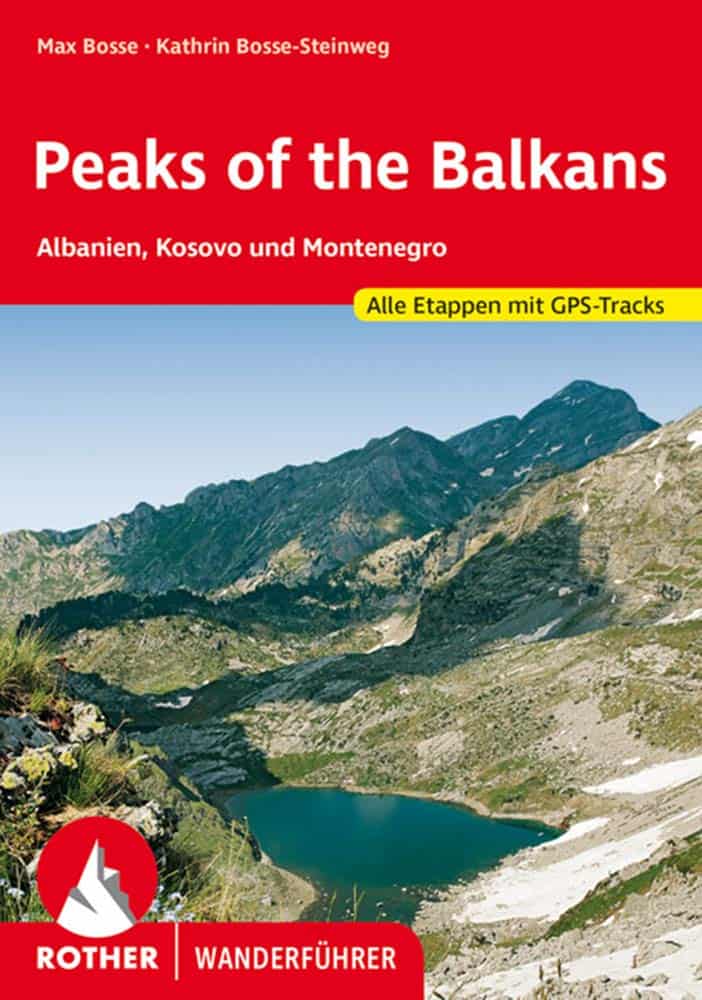
Peaks of the Balkans: Albania, Kosovo and Montenegro. All stages with GPS tracks (Rother hiking guide) Paperback - 2020
Adventure Balkans! Breathtaking mountain landscapes and genuine wilderness, unspoilt nature and warm hospitality can be experienced on the "Peaks of the Balkans" trekking route. The Rother hiking guide of the same name describes the exciting ten-day tour through Albania, Kosovo and Montenegro. It also presents numerous other day tours. The three-country circular route "Peaks of the Balkans" is one of the last adventure routes through Europe. The paths lead along old shepherd and trading trails through the unspoilt mountain world of the Prokletije Mountains, past rushing waterfalls and crystal-clear mountain lakes, perhaps even tracks of wolves or bears. Time seems to have stood still in the old villages, and anyone who misses the comforts of Central European mountain tourism will be more than compensated for by the warm hospitality of the locals...